Heart of The Greens Loop

Maps & Stats
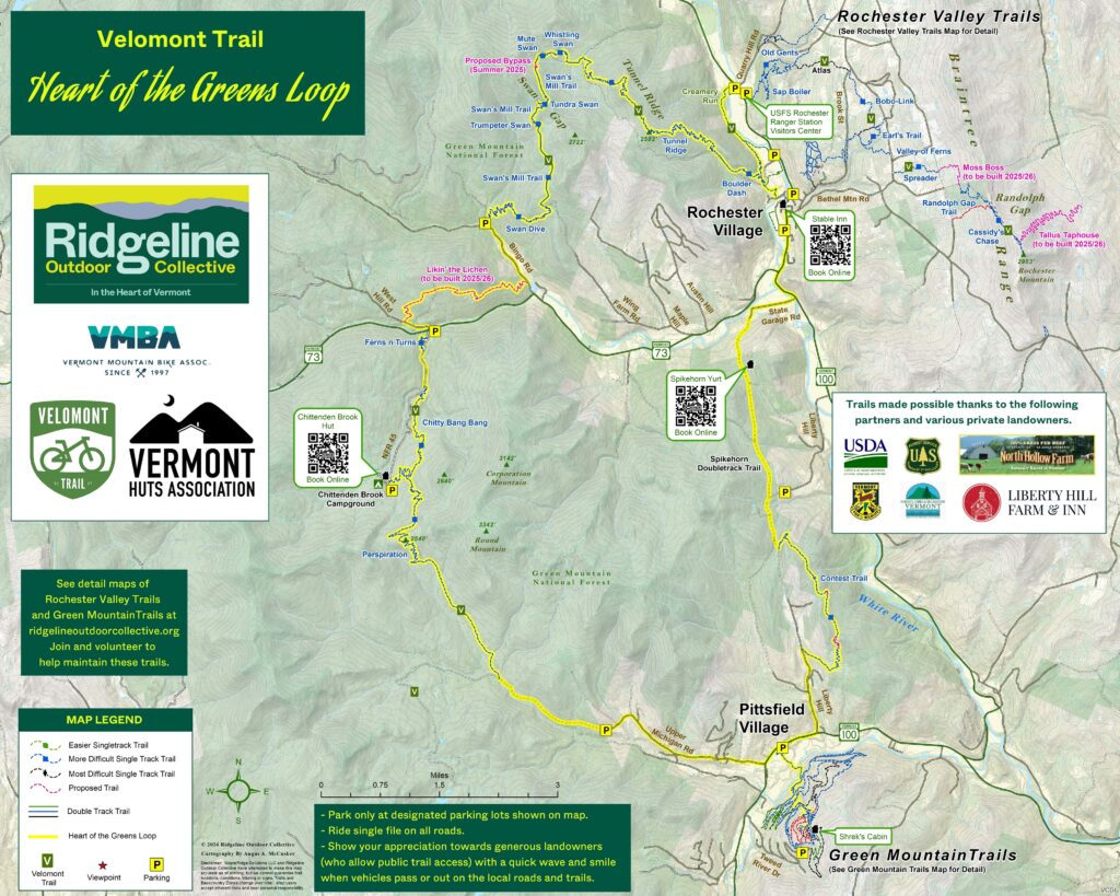
The Heart of the Greens Loop is the first completed multi-day segment of the Velomont Trail, a collaborative project of several Vermont organizations with the goal of connecting a series of single track trails and backcountry huts along the entire length of Vermont. This loop captures the Velomont vision and turns it into reality: connect rural communities to each other and to public open space via purpose-built single track trails.
- Distance: 38 Miles
- Trail types: 54% Single Track / 27% Gravel / 19% Pavement
- Total Ascent: 5718 ft
- High Point: 2,565 ft
- Difficulty: Intermediate to Advanced
- Vermont Huts Association Accommodations: 3 (1 Other)
Remember to always check trail conditions before hitting the trails
MAPS:

Preparation

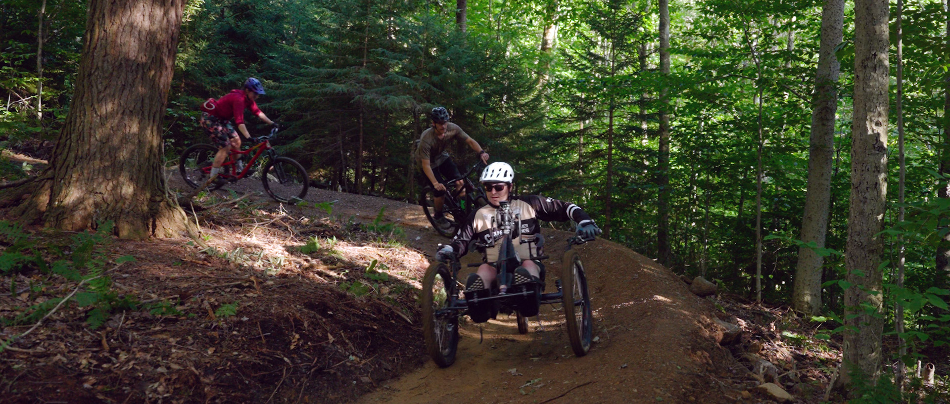
- Bike Selection: A hardtail or full-suspension mountain bike is recommended.
- Parking: Overnight parking is avaliable only in the following locations. Please help us maintain good relationships with our neighbors and do not park at any other location for overnight trips.
- GMNF Ranger Station in Rochester
- Rochester Park & Ride
- Pittsfield Park & Ride
- Upper Michigan Road Trailhead
- Chittenden Brook Trailhead
- Bottom of Chittenden Brook Road
- Please carpool and lock your car and hide belongings.
- Trail etiquette:
- The Velomont Trail is a bi-directional long distance trail. This means that at any given time other mountain bikers, hikers, or trail runners may be traveling in the opposite direction. Also be courteous and yield to the user traveling uphill to show respect and generosity.
- Park only at designated parking lots shown on map.
- Ride single file on all roads.
- Show your appreciation towards generous landowners (who allow public trail access) and the local community with a quick wave and smile when vehicles pass or when approaching others out on the local roads and trails.
- Wet Trails: Much of this route is on natural surfaced single track trails. These trails should not be ridden in wet conditions. If you’re leaving ruts in soft spots in the trails, look for alternate gravel/paved routes to finish your itinerary. Trail conditions are occasionally updated on Ttrailforks and you can also ask the staff at Green Mountain Bikes if it’s rained much recently. Use your best judgment and respect this gift!
Sample Routes
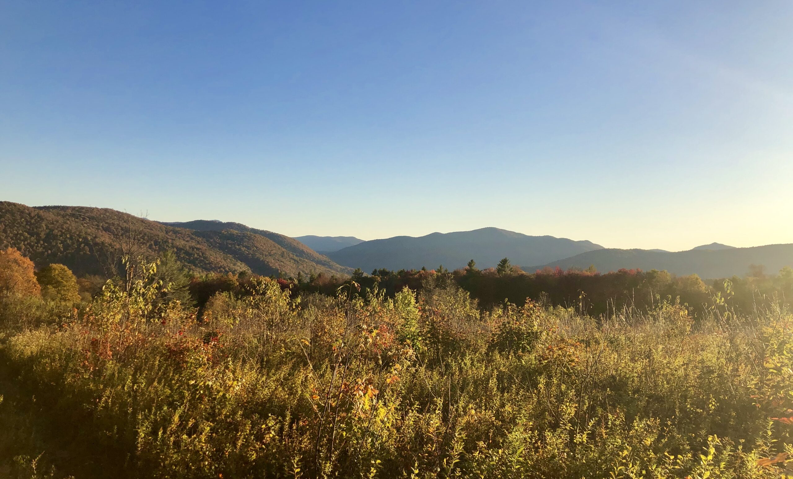
By no means are these the only ways for you to experience the wild wonders the Velomont Trail has to offer, but these are some of our suggested route plans if you want to take the guessing game out of it. Plenty more link-ups and creative loops are available to those looking to mastermind their own Velomont adventure.
One Night’er (Clockwise)
This is the classic overnighter for the hardy trail rider looking to pack as much into two days as possible. Stuffing 38 miles and over 5000’ of vert into two days is a tall order, but it’ll all be worth it when you roll into the cozy Chittenden Brook Hut on Night 1 for a solid night’s sleep before another big day to get back into town.
Day 1. 20.5 Miles
Start: Downtown Rochester
End: Chittenden Brook Hut
Day 2. 17.5 Miles
Start: Chittenden Brook Hut
End: Downtown Rochester
Other Considerations
Checkout “Shrek’s Cabin” at the Green Mountain Trails for even more creative itinerary combinations
38 miles not enough? Consider adding in a warm-up ride at the trails behind the Ranger Station in Rochester, or exploring the Green Mountain Trail network in Pittsfield. The opportunities are endless.
Weekender (Clockwise)
Sometimes it’s nice to make the most of your weekend and get out into the woods on Friday Night. If that’s what you’re looking for, this itinerary is for you! A short pedal on Friday night gets you out on the trails without having to deal with too many logistics. Didn’t have time to pack your favorite snacks? The Pittstop in Pittsfield is strategically located halfway through your ride on Saturday to give you ample opportunity to stock up for the rest of your trip. But make sure you fill your bags, you won’t be seeing civilization again until you finish your ride on Sunday back in Rochester.
Day 1. 2.5 Miles
Start: Downtown Rochester
End: Spikehorn Yurt
Day 2. 18 Miles
Start: Spikehorn Yurt
End: Chittenden Brook Hut
Day 3. 17.5 Miles
Start: Chittenden Brook Hut
End: Downtown Rochester
Lodging & Camping
Lodging
- This route is serviced by three (3) accommodations in the Vermont Huts Association Network:
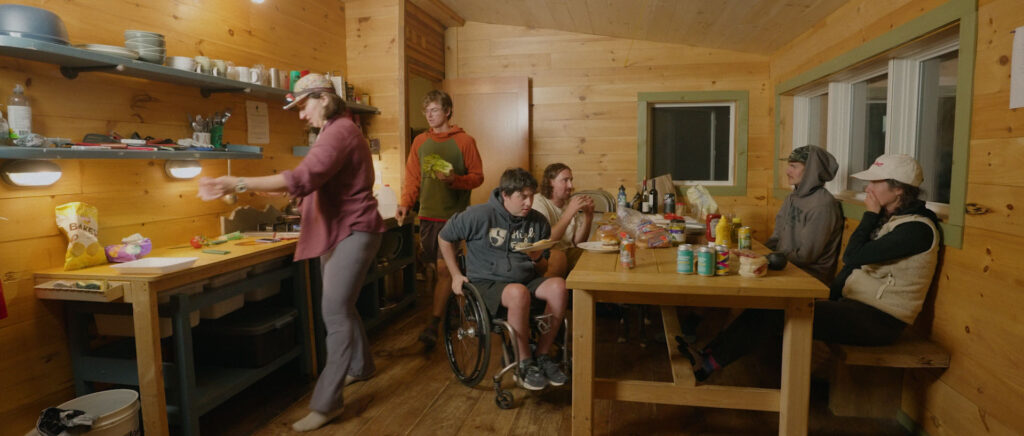
- The Spikehorn Yurt sleeps 6 and is located 2.5 trail miles from downtown Rochester. Reserve Online.
- The Chittenden Brook Hut is ADA-accessible, sleeps 10, and is located at roughly the halfway point on the loop if starting from Rochester. Reserve Online.
- The Stable Inn is an independently owned and operated lodging option with private rooms and hostel-like accommodations located in downtown Rochester. Reserve Online.
- Additional lodging options include:
- Shrek’s Cabin (Operated by Riverside Farm) is located at the top of the Green Mountain Trails network accessible via a spur from the Velomont-Contest Loop. 3 trail miles from Pittsfield.
- A quick google search will yield plenty of additional lodging options including inns, B&B’s, hotels, and Air BnB’s to suit your particular needs.
Camping
- Developed Campgrounds
- Chittenden Brook Campground, Green Mountain National Forest – 17 Sites, first come-first served and reservable sites available. Semi-remote campground with privy, no potable water available. Located at roughly the halfway point on the loop if starting in Rochester. Reserve Online.
- Bingo Brook Primitive Camping, Green Mountain National Forest – 10 first come-first served primitive camp sites located approximately 13 trail miles from Rochester.
- Dispersed Camping
- Dispersed camping is allowed in most locations in the Green Mountain National Forest portion of this route. Refer to the Green Mountain National Forest dispersed camping guidelines or visit the Ranger Station in Rochester for more information.
- Much of this trail crosses private lands, where camping is not allowed without landowner permission. Please help us maintain good relationships with our neighbors and plan to camp or stay at the options listed above.


